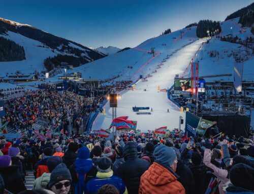
Management & Tourism, SI World 1/2025
Google Maps removed ski lifts and slopes
It‘s almost a routine for every driver: open Google Maps, enter the destination, start navigation – and let it guide you with ease. Unfortunately, it doesn‘t always go smoothly.
A road to nowhere
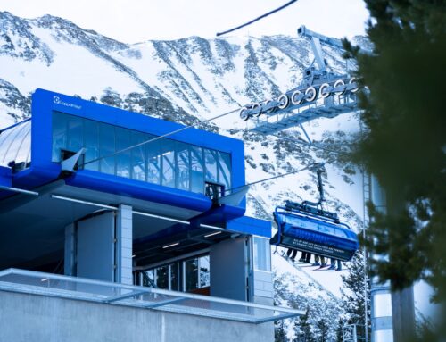
The Pfingstegg station is located about 1,400 meters above Grindelwald and is a popular spot for relaxation in Switzerland. Visitors can either hike there or take the cable car. However, for a long time, drivers tried to reach it via a narrow and bumpy road – because that’s what the GPS suggested.
The route didn’t actually lead to the summit, but ended halfway up, simply because the road didn’t go any further. It took years, countless error reports to Google, and a lot of frustration – for the cable car company, guests, locals, and authorities – before the error was fixed. What exactly prompted Google to correct the route remains unclear.
Fewer guests due to Google Maps?
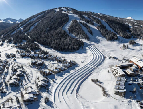
For several years, Google Maps incorrectly indicated that the access road to the Swiss ski resort of Mörlialp in the canton of Obwalden was closed.
Expensive mistake
Here’s another – opposite – story: For several years, Google Maps incorrectly indicated that the access road to the Swiss ski resort Mörlialp in the canton of Obwalden was closed.
According to the media platform Blick, the ski resort management feared that many guests would never even attempt to reach Mörlialp. It took about three years to bring this issue to Google’s attention. The business owner can only guess at the financial losses caused by this mistake.

First – invisible lifts…
The problem with outdated information about ski resorts on Google Maps is much bigger. Although Google started marking ski lifts and color-coding slopes in 2013, winter sports enthusiasts and residents of alpine regions have constantly complained that the information was either not updated at all or updated with significant delays.
Often, only the lower station of the cable car is marked on the map, but the full route is not visible. As a result, guests who rely on this service cannot see exactly where they are heading.

Markus Redl
CEO of ecoplus Alpin GmbH complains on LinkedIn:
“Even in Hinterglemm, not a single lift is marked, even though the ski world looks right at the Zwölferkogel. Apparently, ski resorts aren’t that important on a global scale. At least not for Google Maps.”
…now – removed facilities
Since this season, however, skiers can no longer rely on Google Maps at all: the internet giant has removed the display of ski lifts and slopes from its maps. Initially, users noticed this, and later, Google confirmed it.
In response to SI‘s inquiry about why this decision was made, the tech corporation gave a brief answer:
“We experimented with showing ski-related information on Google Maps a few years ago, but have since removed this feature. Our experience has shown that many people get the latest and most up-to-date information directly from the ski resorts or use the maps provided by the resorts themselves.”
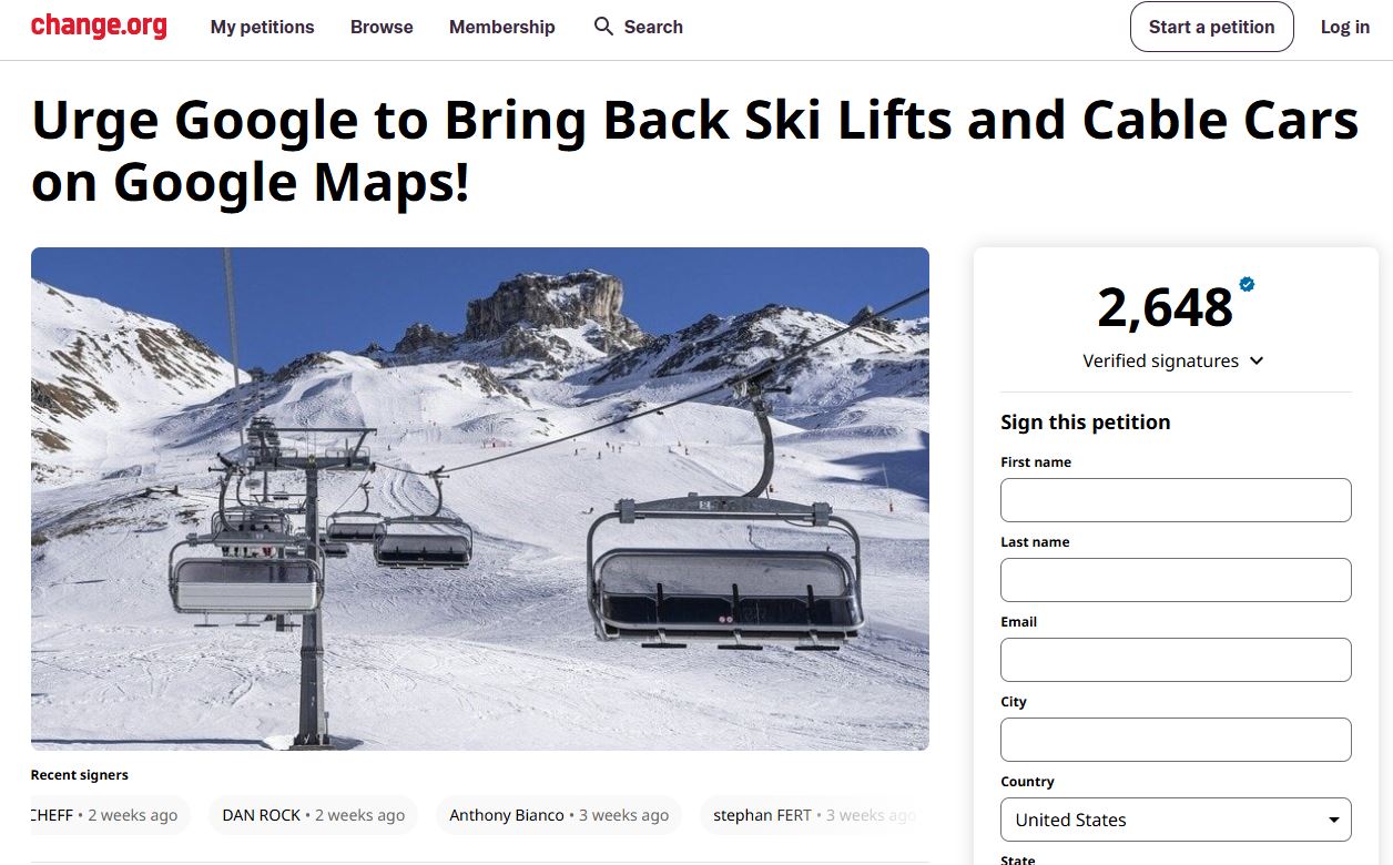
Call on Google Maps to display cable cars and slopes again:
Currently (March 20,2025), a petition on change.org has already collected over 2,600 signatures.
Skiers raise the alarm
However, winter sports fans are disappointed and dissatisfied: for many, the information was an important navigation aid. Ski lift enthusiast Donát Sugataghy even started a petition on change.org, demanding that information about ski slopes and lifts be brought back to the maps.
In his petition, he highlights how important this information is for tourism and the local economy in the mountains. Especially users from countries like Austria and Switzerland could be disadvantaged by the removal of this feature, according to Sugataghy.
“Imagine a scenario where essential transportation systems like roads or railways disappear from Google Maps. That’s the reality for us, the mountain residents and ski enthusiasts. Lifts are our way to reach heights; they make the inaccessible accessible,” writes Sugataghy.
By the time the magazine went to press, the petition had already gathered over 2,600 signatures.
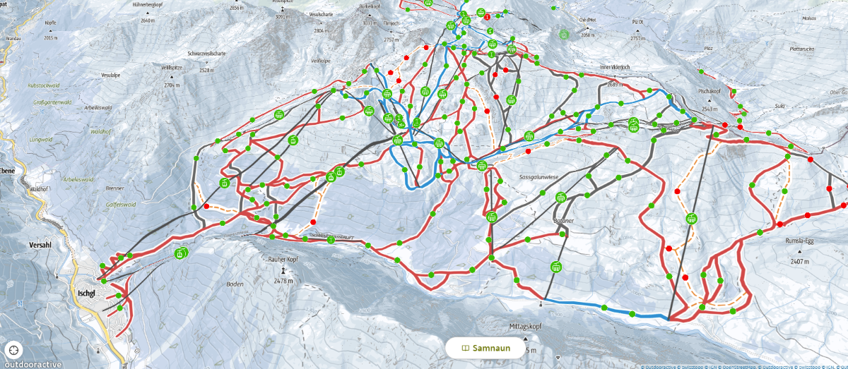
Image with significance:
This is what the map looks like on Outdooractive, as long as data is available.
Available alternatives
The missing information can partly be provided by the portals OpenSkiMap and OpenSnowMap. Both projects are mainly supported by enthusiasts and are based on OpenStreetMap data: anyone can edit the map.
However, the data there is mainly geared towards winter sports enthusiasts, and many features that could be useful to guests are simply missing. For example, the ski lifts are not integrated into the public transportation system.
Individual ski resorts also publish maps on their websites, but experts believe this may not be enough to attract guests.

Judith Grass
CEO of Golm Silvretta Lünersee Tourismus GmbH writes on LinkedIn:
“Own systems are good, but without global platforms, and Google Maps is clearly the dominant player, the reach is lacking. As a result, guests lose their orientation, and sustainable mobility concepts remain unused.”
European Open Data Hub
Taking the situation into their own hands is what Hartmut Wimmer, founder and CEO of Outdooractive, proposes. His idea is to create a dedicated data hub in Europe. “Content-wise, one could start with a GTFS-compatible map dataset, so the data would already flow into the timetable systems,” explains Wimmer.
GTFS stands for Geographic Feature Transportation System, which integrates geographic information and transport data into maps. Consequently, additional data could be provided to describe ski resorts, such as images, texts, prices, and opening hours.
All ski resorts could come together in an open, non-profit organization and fund the project collectively, according to Wimmer. Additionally, funding could be sought through grants.
“Depending on how willing the industry is to embrace such a shared digital world, it would first require a team of at least five employees and several years of development time. This will also be an ongoing process, the topic will never be completely finished.”

Hartmut Wimmer
Founder and CEO of Outdooractive
„I see only one opportunity for the ski resorts: their own Open Data Hub. The issue with the data is far too important to leave it to chance or to players from the USA or China. One can hardly imagine what would happen if an AI suddenly starts creating a global digital ski resort map.“
Little enthusiasm in the industry
Even after the ski industry event BergBahnCamp 2023 (the predecessor of the Mountain Summit 2025), Wimmer wrote to the associations of ski resorts in all countries of the Eastern Alps: Switzerland responded with a rejection, and there was no reply from the others.
“In my opinion, the ski resorts still don’t seem to understand the issue, otherwise, I can’t explain their attitude,” wonders the entrepreneur.
Wimmer himself has experience in collecting such information. Outdooractive sold the data that appeared on Google Maps about 15 years ago to Google, after the company had digitized numerous ski resorts for the ADAC Ski Guide portal.
The company ran this portal for ten years. “During that time, we were in regular contact with the ski resorts and asked them to update the data. Even back then, our requests were ignored. After a few years, there was one final update of the data on Google, and then nothing more.”
Could this have influenced Google’s decision? That’s something to ponder.
Vision
Europe-wide open data hub
- Geometry of ski lifts and slopes
- Snow depth/slope conditions
- Open/closed status
- Summer/winter operation
- Integrating data from all existing systems
- Unified data standard
- Collaborative open-source platform
- API for free use
- Joint funding
- At least five employees
What’s next?
The digital future of ski resorts now lies in the hands of their operators. Will they rely on enthusiasts, develop their own maps, or create a unified data hub after all? This question remains open.