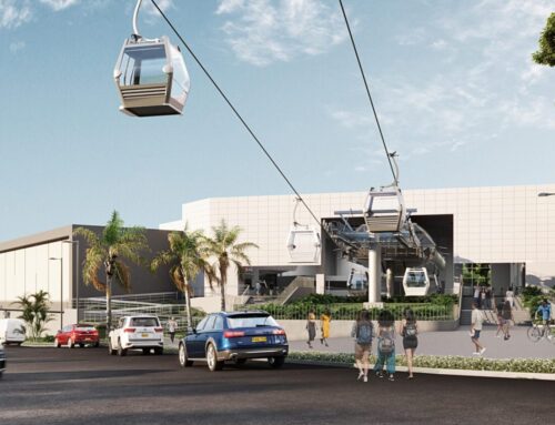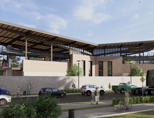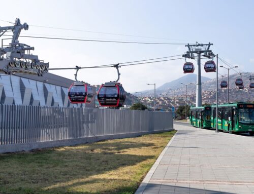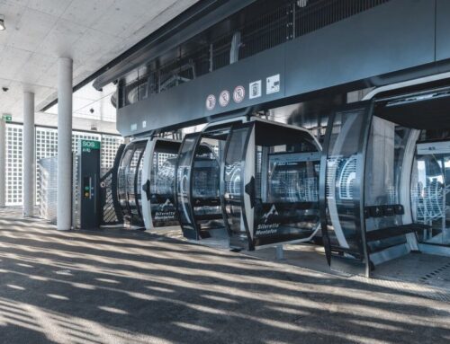
Cities, SI Urban 1/2024
New Zealand: Ten urban cable cars proposed
New Zealand‘s major cities are facing congested streets and overloaded transportation systems – a situation that will only intensify with the growth of urban areas. In most cases, there is a lack of space and funds to further expand urban road and rail networks.
Where expansion has occurred, traffic volumes typically increase to fill the new capacity. Many public transportation projects currently under consideration are costly to build and maintain, would be disruptive, and require significant time for implementation.
Study: Ten cable cars make sense
A strategic analysis by Abley, a specialized planning and transportation consultancy in New Zealand, found that “aerial cableways can address several of the most significant transportation problems in New Zealand cities“ and that “compared to other modes of surface transport, the overall benefits of cableways are significant.“
Abley identified twenty sites across New Zealand in six cities where there is a need for this form of public transportation. Out of these, ten are deemed feasible – here‘s an overview.
In Auckland three cable car lines are planned.
Three cable cars for Auckland
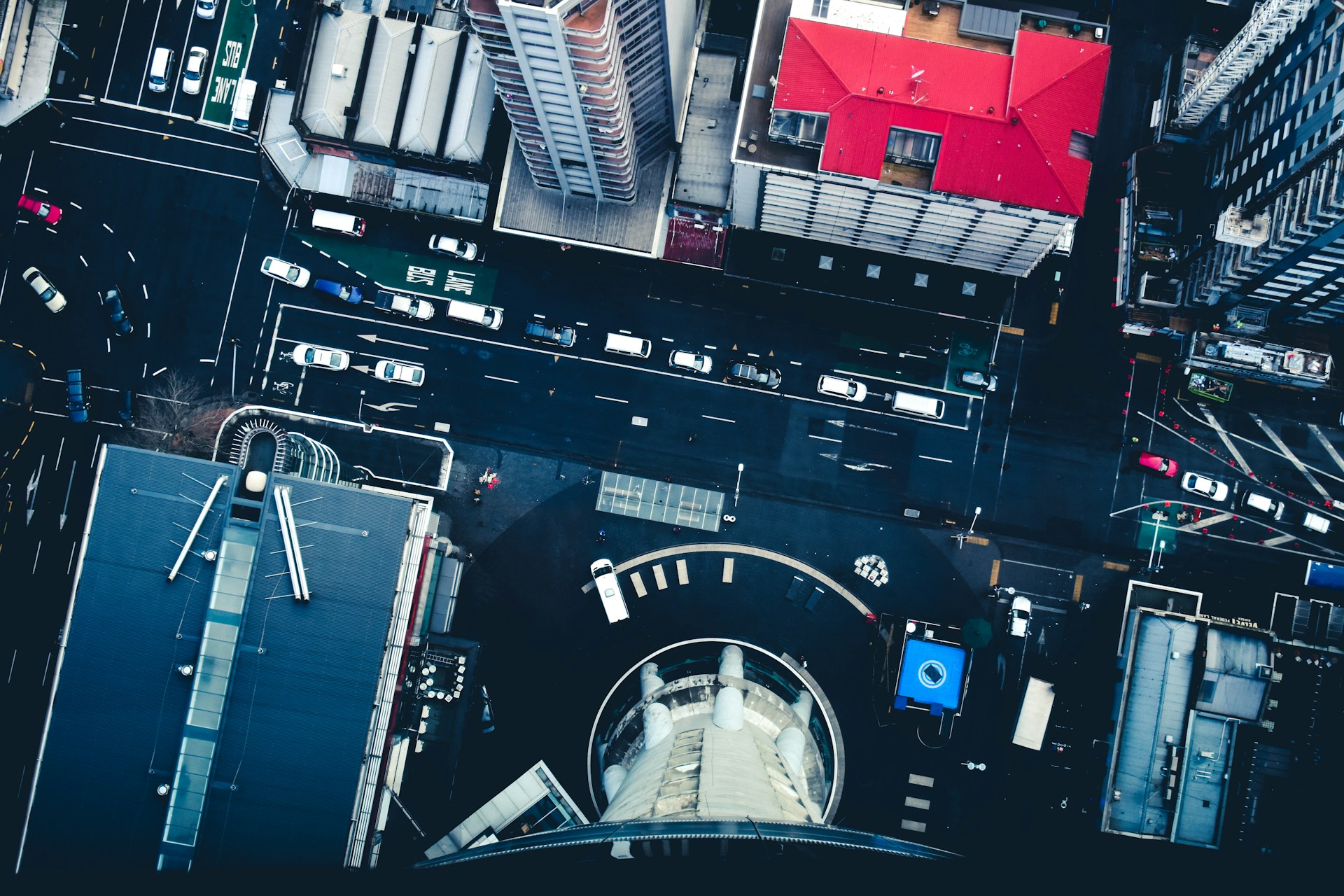
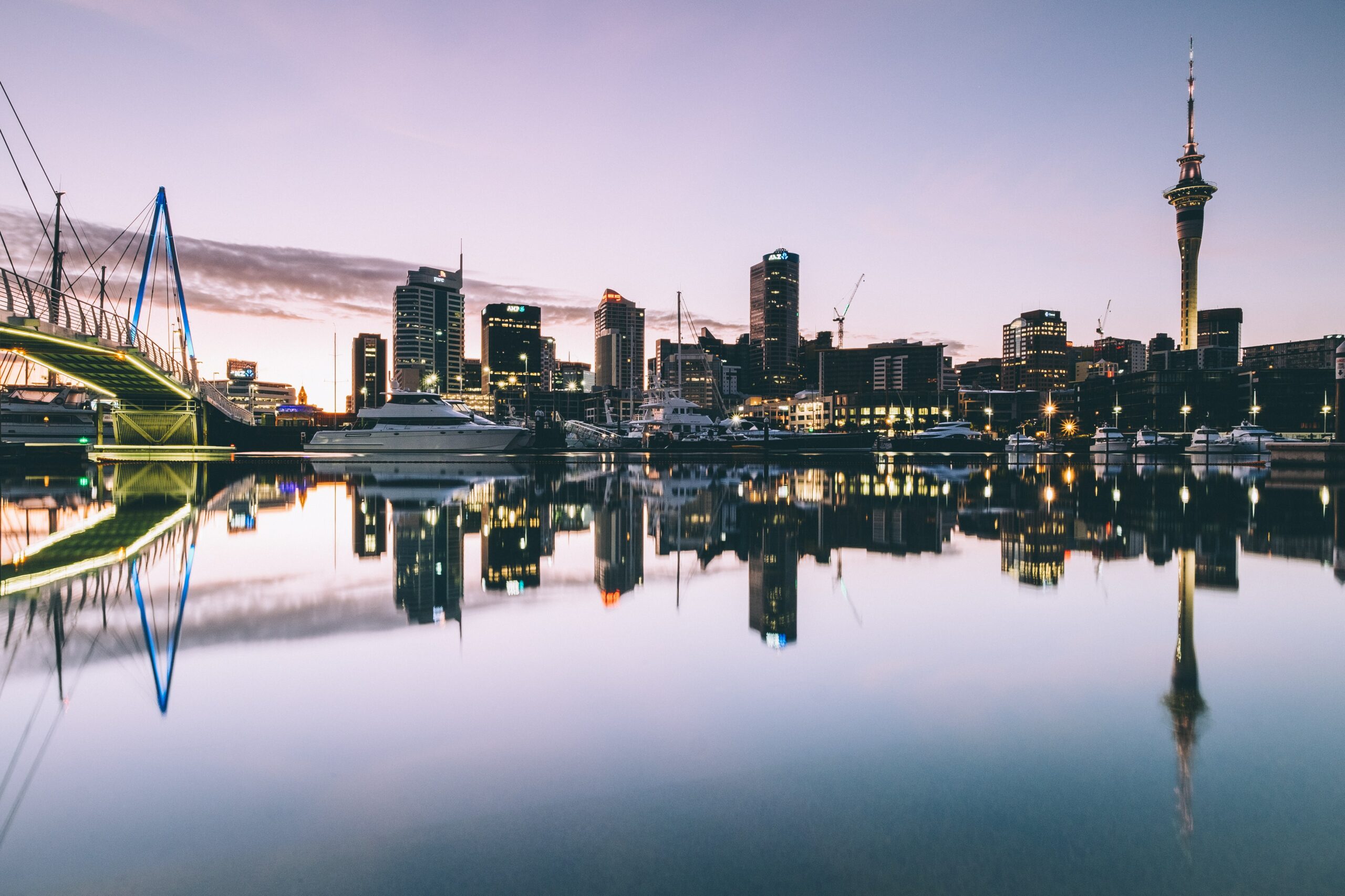
In New Zealand‘s largest city – Auckland – transportation experts have conceptualized three cable car lines. The first route runs through Auckland‘s key corridor, filling a gap in the rapid transit network:
The cable car connects the airport with the Puhinui railway station, the Manukau Central Business District (CBD), and the Botany neighborhood. Rail and bus lines are connected via the four stations. The travel time, at 41 minutes, is significantly shorter than current bus (56) and car (53) times (see infobox 1).

The second cable car line connects the airport with the rapid transit in Onehunga (both rail and planned Mass Rapid Transit MRT), linking the Mangere employment hub via two stations.
The cable car crosses the Manukau Harbor and passes beneath the airport‘s planned runway in a tunnel. Here too, the travel time is considerably less than current bus (44) and car (33) times, at 26 minutes (see infobox 2).
The third facility extends the planned Northwestern Busway to Te Atatū and Henderson in the other direction. Two stations would serve the Te Atatū neighborhood, while one serves the Henderson service center.
The cable car is integrated with rail and bus services, crossing a motorway. Passengers spend 10 minutes traveling instead of the current 35 minutes (by bus) or 16 minutes (by car) (see infobox 3).
AIRPORT – BOTANY:
| Location | Auckland |
| Stations | 4 |
| Travel time | 41 min |
| Interval between cabins | 36 sec |
| Capacity/direction: | 2.000 P/h |
AIRPORT – ONEHUNGA:
| Location | Auckland |
| Stations | 4 |
| Travel time | 28 min |
| Interval between cabins | 24 sec |
| Capacity/direction | 3.000 P/h |
TE ATATŪ – HENDERSON:
| Location | Auckland |
| Stations | 4 |
| Travel time | 10 min |
| Interval between cabins | 36 sec |
| Capacity/direction | 1.000 P/h |
Two cable cars are set to traverse the center of Christchurch.
Two cable cars for Christchurch
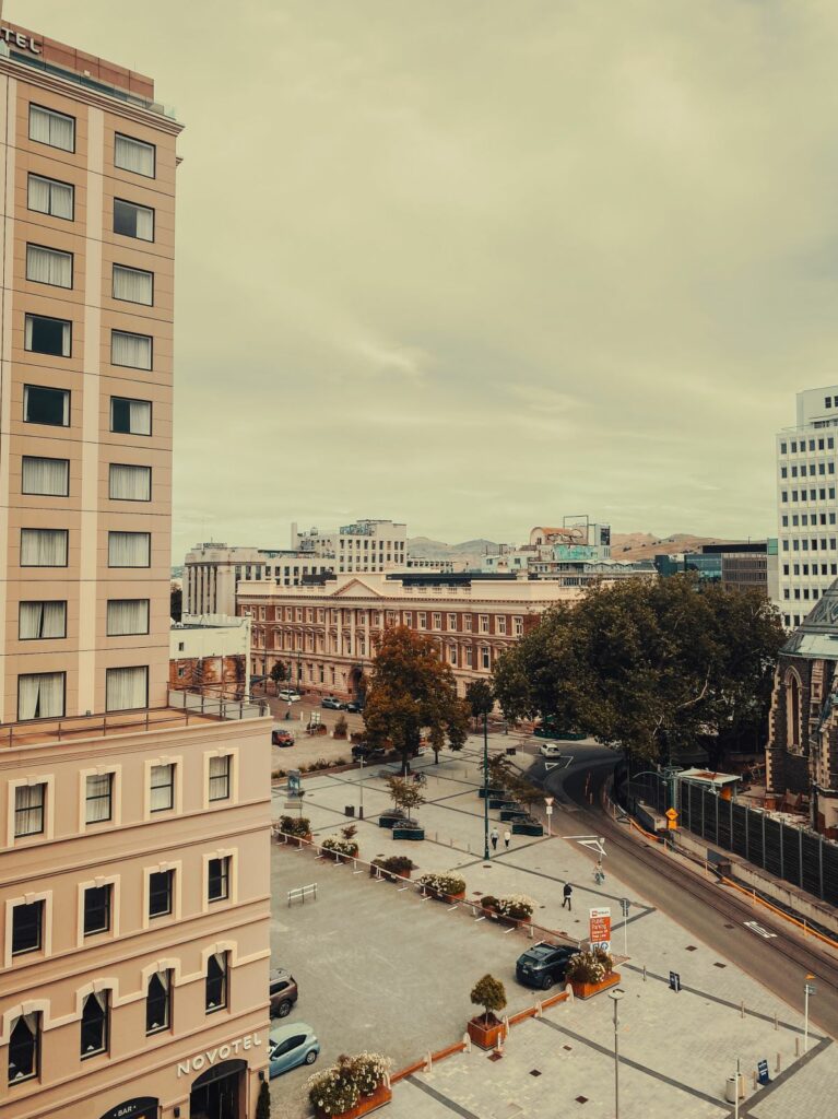
According to Abley, the largest city on the South Island – Christchurch – is suitable for two cable car lines. One connects the airport, the University of Canterbury, and the city center, relieving congested transport corridors.
A challenge is crossing Hagley Park. Integrated with bus lines, the cable car offers a faster travel time of 25 minutes compared to buses (37) and a five-minute longer travel time compared to cars (30) (see infobox 4).
The other cable car route is an integral part of the proposed MRT route. It serves the neighborhoods of Belfast, Northlands, and Papanui, the city center, and the bus station in just over 23 minutes. Buses (32) and cars (28) take slightly longer for the same route (see infobox 5).
AIRPORT – CBD
| Location | Christchurch |
| Stations | 3 |
| Travel time | 25 min |
| Interval between cabins | 36 sec |
| Capacity/direction | 1.000 P/h |
BELFAST – CBD:
| Location | Christchurch |
| Stations | 5 |
| Travel time | 23 min |
| Interval between cabins: | 36 sec |
| Capacity/direction | 1.000 P/h |
Wellington already has a funicular railway – will four cable cars follow no?
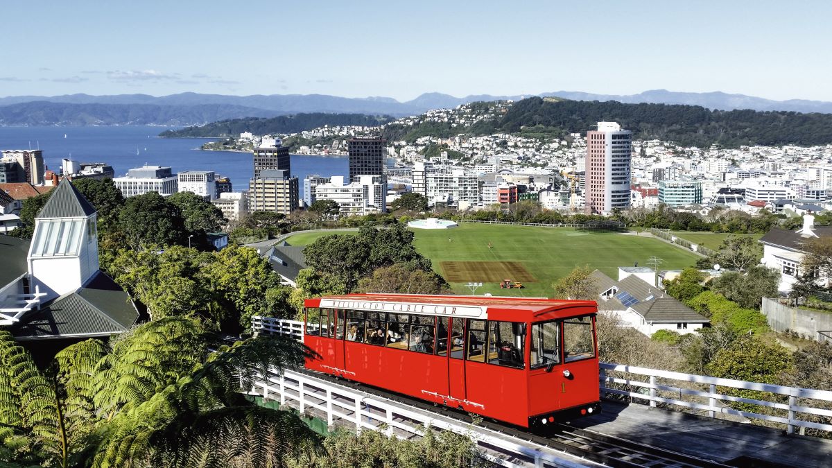
Four installations for Wellington
For the capital of New Zealand, planners propose no less than four cable car lines. The first route starts from the airport, passes over Mount Victoria, through the city center, and reaches Pipitea Station.
Here, a tunnel beneath the airport runway would be necessary – or alternatively, a shuttle bus. Regardless, the travel time with the cable car would be significantly shorter at 22 minutes compared to current bus (36) and car (36) times (see infobox 6).
AIRPORT – CBD
| Location | Wellington |
| Stations | 4 |
| Travel time | 22 min |
| Interval between cabins | 36 sec |
| Capacity/direction | 2.000 P/h |
The second cable car line, with five stations, is the most extensive in the concept and runs through Wellington‘s central corridor. It starts from Island Bay, passing through Newton, the urban hospital, Queens Wharf waterfront, and reaching Pipitea Station.
Connections to the proposed MRT system and the airport would be feasible. Passengers would spend 20 minutes traveling instead of 24 minutes by car or 42 minutes by bus (see infobox 7).
ISLAND BAY – CBD
| Locations | Wellington |
| Stations | 5 |
| Travel time | 20 min |
| Interval between cabins | 15 sec |
| Capacity/direction | 3.000 P/h |
The third installation aims to connect Karori – Wellington‘s largest suburb – with the capital, specifically with Pipitea Station. Planners hope to increase capacity in the overloaded traffic corridors in the hilly terrain.
The cable car, spanning three stations, would be integrated into the bus and rail networks. Again, the travel time is significantly less at 8 minutes compared to current bus (33) and car (20) times (see infobox 8).
KARORI – CBD
| Location | Wellington |
| Stations | 3 |
| Travel time | 8 min |
| Interval between cabins | 36 sec |
| Capacity/direction | 2.000 P/h |
The fourth route establishes a direct connection between the Wainuiomata suburb and Waterloo Station – spanning across the valley. The stations are Wainuiomata, Waterloo Station, Hutt City Center, and Melling.
The cable car, at 18 minutes, is significantly faster than the bus (47 minutes). Travel time by car is almost the same, at 18 minutes (see infobox 9).
WAINUIOMATA – HUTT V.
| Locations | Wellington |
| Stations | 4 |
| Travel time | 18 min |
| Interval between cabins | 72 sec |
| Capacity/direction | 1.000 P/h |
In Queenstown, an urban cable car is poised to showcase its strengths.
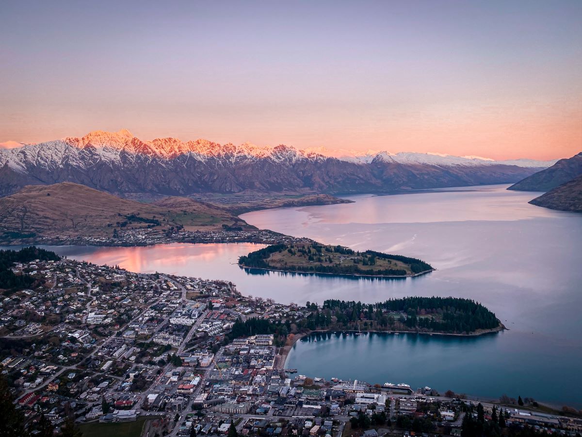
A cable car for Queenstown
For Queenstown – a city on the South Island – planners have designed “only“ one cable car route. This focuses on commuters and travelers and aims to provide additional capacity to the overloaded traffic corridors.
Key stations include the airport, Frankton Transport Hub, and Queenstown city center. The route will cross several slopes and leverage the advantage of narrow roadways. The cable car is expected to be slightly faster at 22 minutes compared to buses (23) and cars (24).
Similar to Auckland, the cable car will partly run through a tunnel to pass beneath the runway (see infobox 10).
AIRPORT – TOWN CENTER:
| Location | Queenstown |
| Stations | 3 |
| Travel time | 20 min |
| Interval between cabins | 48 sec |
| Capacity/direction | 1.500 P/h |
Report for download
The report from Doppelmayr New Zealand is available for download at siurbahn.com.
